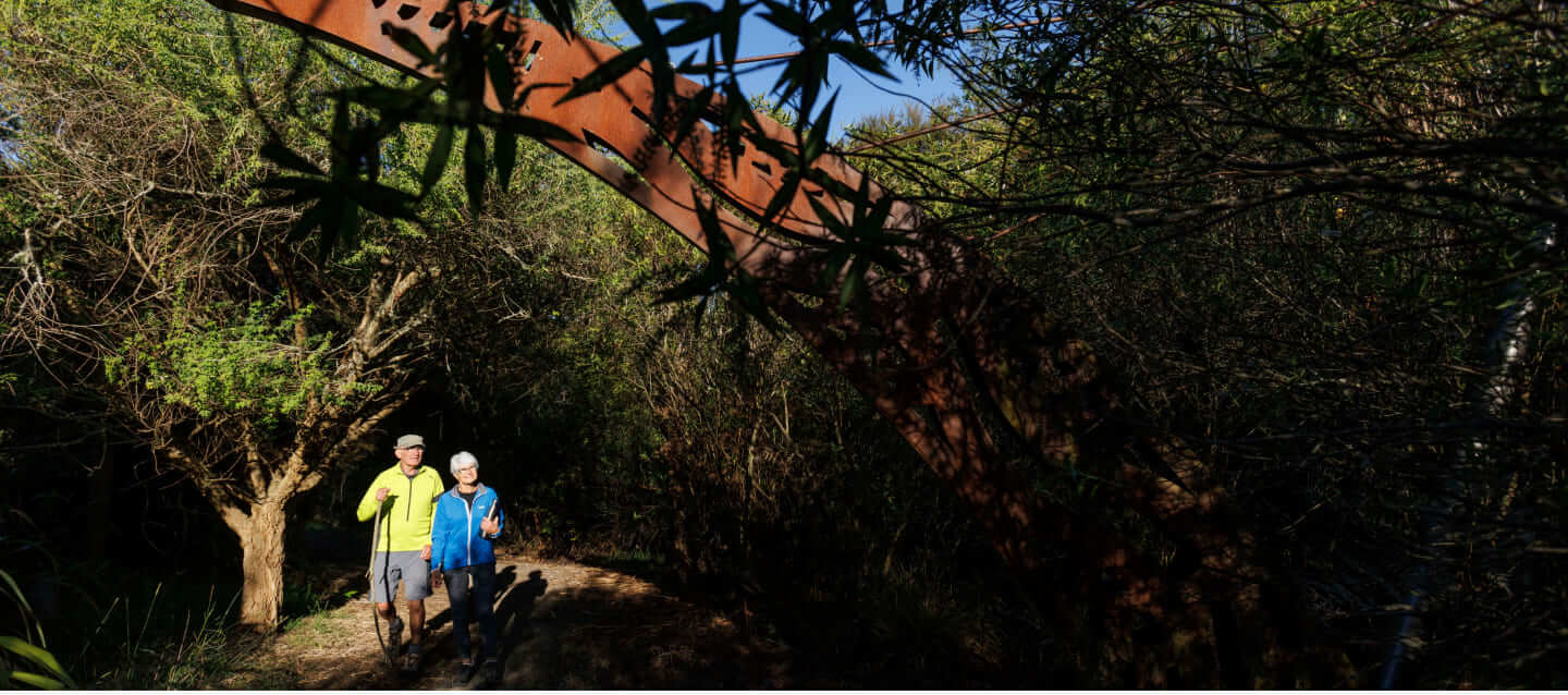
One of the Nga Haeranga Great Rides of New Zealand – the Waikato River Trails is a multi-purpose trail ideal for mountain biking, walking and running.
It provides access to areas previously seen by only a few. Located in the heart of the South Waikato, the Waikato River Trails follow the river from Atiamuri Village in the south, to the southern end of Lake Karapiro in the north. Divided into five sections, each trail is named after the lake the trail is connected to, and most who undertake the whole trail ride from the south to the north, following the river downstream (which isn’t all downhill!). For those choosing to ride individual sections, riding in either direction is an option.
The first two sections of Whakamaru and Maraetai are graded as 3 (Intermediate); the Waipapa section is graded as 4 (Advanced); and the last two Arapuni and Karapiro sections are graded as 3 (Intermediate). The trails are mostly 1.5 metres wide with compacted metal surfaces, across a range of terrain from gently undulating trails to some that are trickier single-track trails (particularly on the Waipapa section).
Riders and walkers should check the forecast and take appropriate clothing for the conditions. There are plenty of toilets along the trail, but limited drinking water is available so please be prepared. Although the trails are well signposted and mostly close to roads and settlements, visitors should carry a map, food and water, a basic tool kit and mobile phone (although coverage may be patchy).
While a temperate climate makes this an all-season trail, parts of the track can get muddy during winter (June – August), but any fog usually lifts to reveal a beautiful clear day.
Dogs are not allowed on the Trails for the safety of Trail users and adjacent farmers with the exception of the 1.5 kms from the Mangakino Lakefront to the end of the Mangakino golf course. Thank you for your support and understanding
South to North, or North to South?
Either direction is fine. Our personal preference is following the river starting in the south at Atiamuri and finishing in the north at Lake Karapiro.
On a muscle bike cycling the whole trail can take the extra fit one day, any one with above average fitness two days and a comfortable ride is three days. E-bikes probably two days for most, dependent on battery life.
The intermediate sections of trail are suitable for children with good cycling experience. The trail is often close to the river so please keep a close eye on any children riding with you.
Mobile coverage on the trail is 80-90%. The area around the Waipapa Dam has patchy coverage.
If you have an accident on the trail call for assistance and refer to the most immediate trail entry point.
Blue markers are frequently positioned on the trail and intersections have arrows pointing you in the right direction. Follow these and you won’t get lost.
There are well stocked bike shops in Tokoroa, Putaruru and Taupo. Please check local shops for their business hours.
Hazards to be aware of are drop offs to the river, some sharp corners and traffic where there are road crossings.
There are 9 toilets over the course of the 104 km trail.
A national policy has been developed to ensure safety of Trail users across the Great Ride network. Policy is simple, bikes must have pedals that are and can be used to propel them and the electric motor power must not exceed 300W.
The following examples are not power assisted cycles but are mopeds and therefore not allowed on Ngā Haerenga New Zealand Cycle Trails:
- Cycles fitted and operated by a throttle
- Cycles fitted with petrol motors
- Low powered scooters/mopeds
- Cycles designed primarily to be propelled by an engine not the muscular energy of the rider.
The Waikato River Trails officially opened in November 2011, and are managed by the Waikato River Trails Charitable Trust.
The Trust was established in 2006 to develop a network of trails along the Waikato River to bring more visitors to experience the picturesque South Waikato area. Over 20 local businesses provide a warm Waikato welcome to visitors including cafés, accommodation, bike hire and shuttle services. The Waikato River Trails are proud to be a member of the New Zealand Cycle Trails (NZCT) Great Rides network.
Over several thousand native trees planted every year.
As a custodian of more than 100km of the Waikato River, the access provided by the trails enables the Waikato River Trails Charitable Trust to actively manage the river margins and plant several thousand native trees each year.
The plantings have a positive effect on the environment and biodiversity by providing nutrients and a habitat and food source for the increasing population of birdlife. All of the native trees are planted by a committed team of volunteers.

Our team are constantly working on and around the 104 kilometres of river trail.
If you come across something that needs our attention or you have some positive feedback, please be sure to let us know!
You can call us on 0800 874 978 or complete the form below.
If you’d like to report an incident that occurred on our trail, please complete our Incident Report here.


